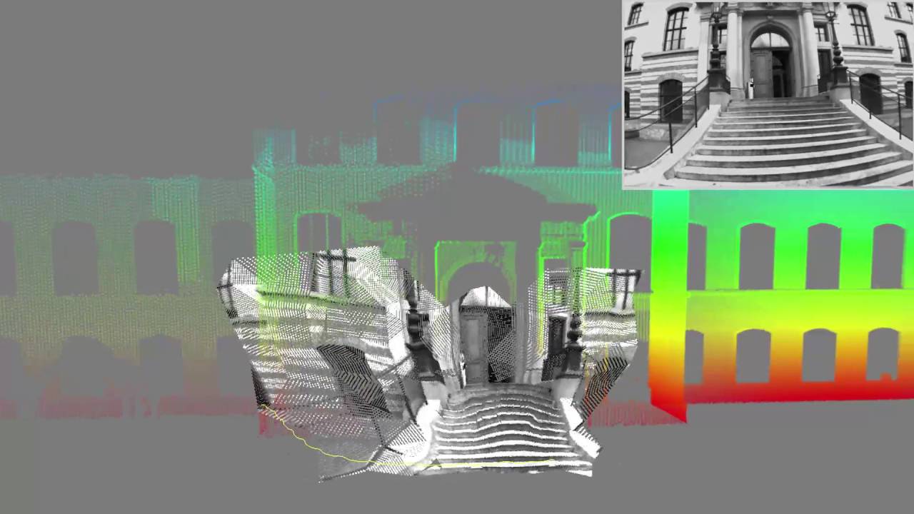
Aerial Inspection Dataset
This dataset contains visual and inertial sequences recorded from the ground and the air (using a small rotorcraft) while moving around a building. This data is captured with a hardware-synchronised sensor and ground-truth of the scene has been captured using a laser scanner. This dataset is freely available and can be downloaded from external pagehere.
Users of this dataset are asked to cite the following paper, where this dataset was introduced:
Lucas Teixeira and Margarita Chli, "Real-Time Mesh-based Scene Estimation for Aerial Inspection", in Proceedings of the IEEE/RSJ International Conference on Intelligent Robots and Systems (IROS), 2016. DOI E-citations